This hike was amazing! I don't know why it's not talked about more in the hiking-blog-hemisphere...
It's about 6.5 miles, but I'm pretty sure we hiked close to 7+, because we thought that the wilderness area near the beginning of the hike (after the paved road) was part of the trail, so we wandered around for quite a while looking for the trek up the mountain. So, fair warning... if you wander across the bridge to the wilderness park, don't look for a trail to climb the mountain. Go back across the bridge and keep going up the trail. Because of this little frustration and a slight time constraint, we decided to skip the excursion to the waterfall, which I'll be going back to check out at some point.

(wilderness area near beginning of hike across bridge)
Also, I would definitely suggest doing this hike as early as you can (we started around 7:30am), so the sun doesn't beat down on you. It will definitely make the hike feel a million times harder if you're doing it in the heat of the day. The shade was a welcome friend.
It is also close to 2200 ft elevation gain, so it's a great leg workout!
About 2+ miles up the mountain, you'll find a small bit of ruins. It's a nice place to take a little break.
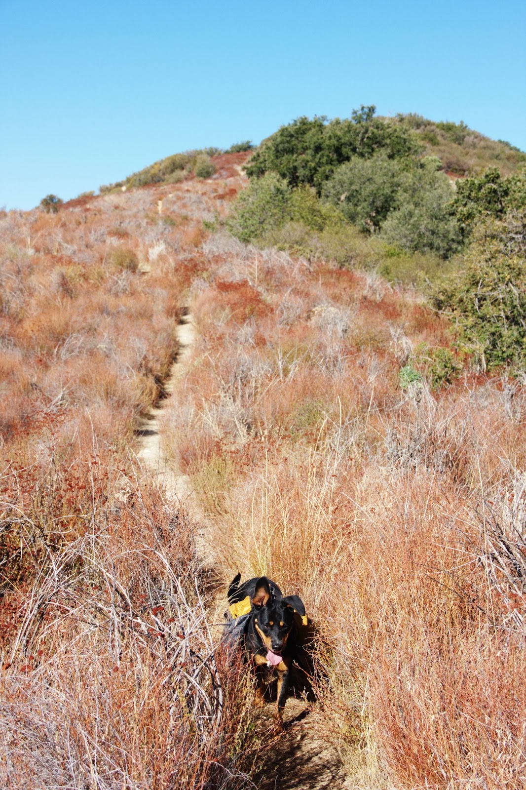
(my hiking buddy Zena (on one of her first hikes of many))
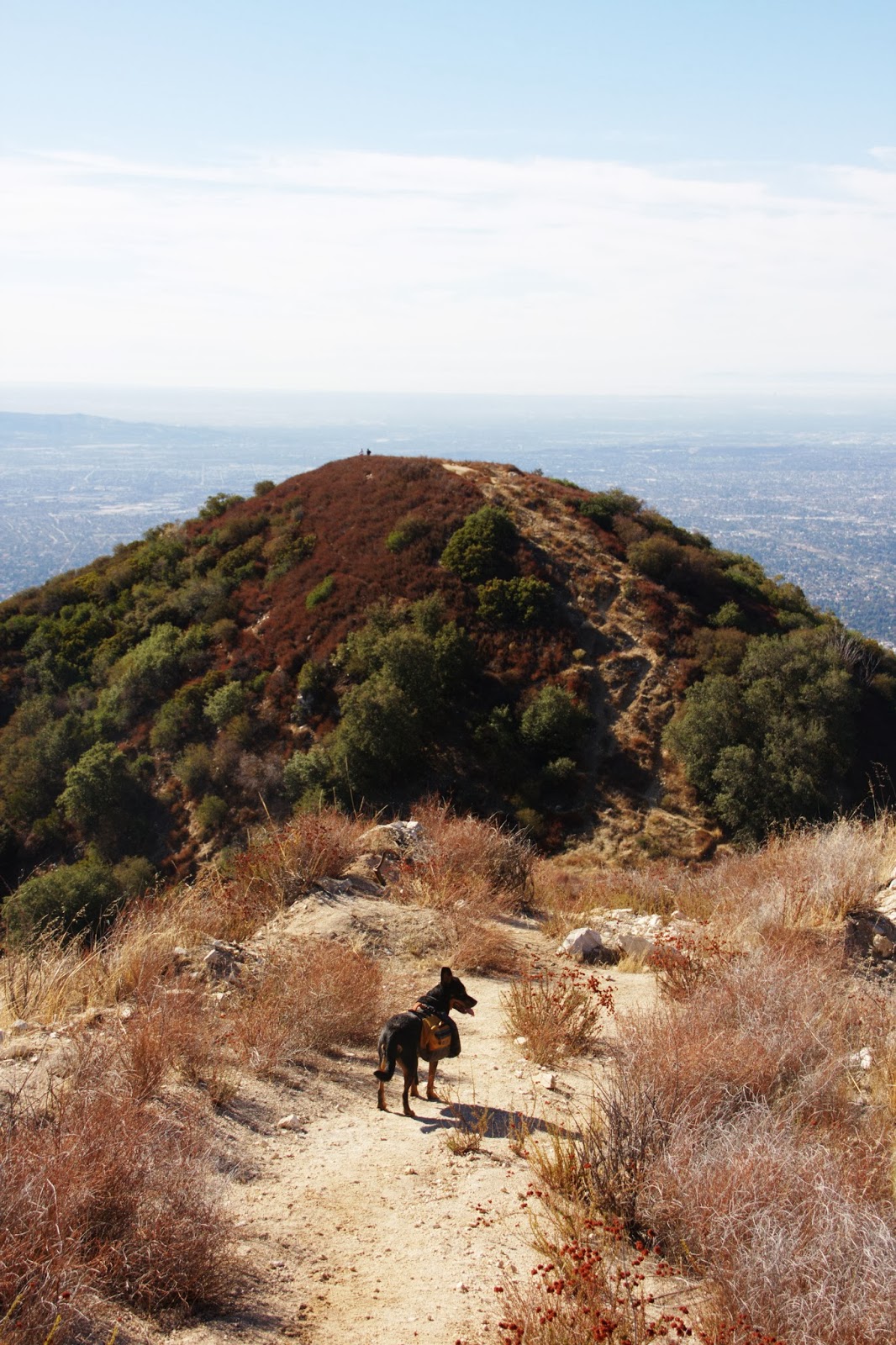
There are countless panorama views of the city. It's an absolutely beautiful trail. Every turn holds another gorgeous view:
(click photo to enlarge)
There is a big beautiful tree right before you get to the top:
When you get to the top, you can continue several directions...
There is Santa Anita Canyon to the east, a trail to Mt. Wilson to the north, another trail to (I think) Hastings Peak to the northwest, and a small trail just behind you where you can scramble up to the very top of Jones Peak.
Mt Wilson to the north
Santa Anita Canyon to the east

trail to Mt. Hastings(?) to the northwest
"the top" ...well, almost. Just before the scramble up to the very top of Jones Peak
We didn't know about the Jones Peak scramble, so we started hiking up towards Hastings Peak... only to turn around and see the actual Jones Peak. So we turned around and did that trail instead.
It made for some incredible photos though:
My personal favorite of Jones Peak:
The hikers in this photo we had stopped to talk to while we were at the little cabin ruins.

Zena was smart enough to bring some clif bars. Totally hit the spot!
At the top of Jones Peak, you can find a small tin where you can write your name and date. I didn't have a pen with me, so I just had lovely Rita pose by the tin for me...
I definitely recommend this hike. It was a pleasant surprise so close to home! Cheers, friends!